PDF
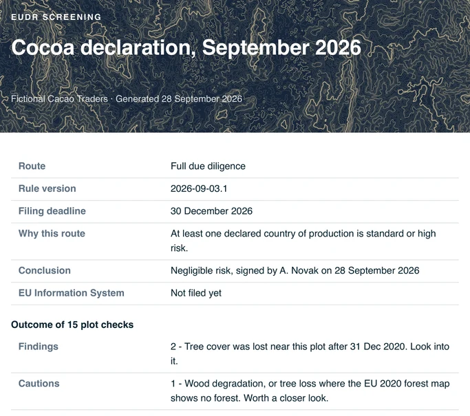
Declaration package
Scope, plot results, review decisions and your signed conclusion.
If you're an EU importer, we'll also get you filing-ready.
From supplier plots to a package ready for your declaration.
Deadline 30 December 2026, or 30 June 2027 for most small companies.Keep your suppliers' reference numbers and your customers on record.
Check your plots for deforestation and get a dated report to share.
One private link per supplier. No account needed.
Your plots 2
Add a plot
Tap the plot corners on the map.
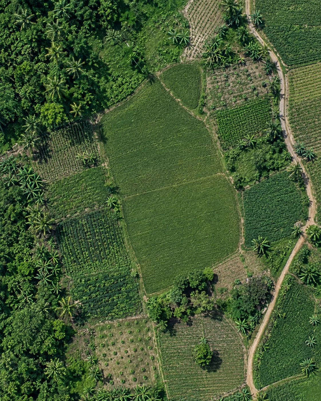 7 corners · 2.4 ha
Illustrative map
7 corners · 2.4 ha
Illustrative map
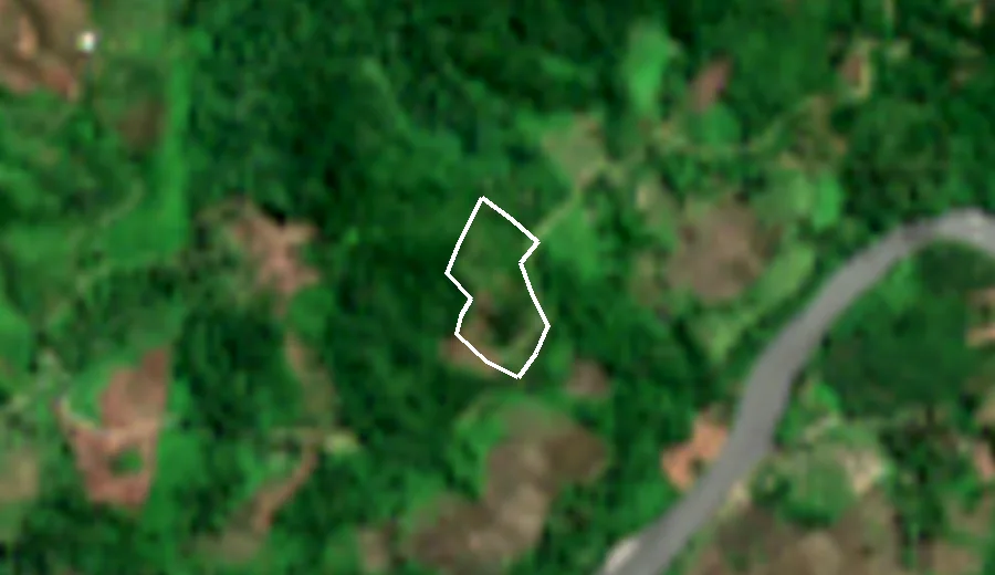
Every plot gets a result and the reason for it. Open a finding to compare imagery from before and after the cutoff.
A screening signal prompts a review. It is not a legal conclusion.

One paid export: the files for your declaration, the evidence behind them, and a year of monitoring.
Scope, plot results, review decisions and your signed conclusion.
Every plot's result, with imagery from before and after the cutoff for each finding.
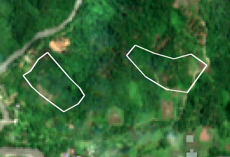
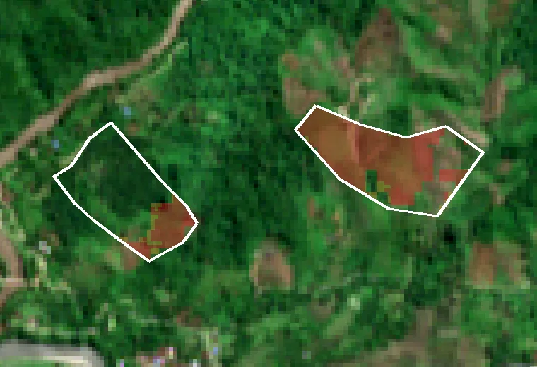
Highlighted: tree cover lost after 2020.
The geometry file used for EU Information System filing.
A spreadsheet-ready list of suppliers, locations and results.
No. It's evidence to support your own due diligence decision, not a legal finding. You review the results and sign the conclusion yourself. See our methodology for how results are produced and where the limits are.
No. We prepare the dated package and the plot GeoJSON for the EU Information System. You review the signals, record your legality evidence and sign your conclusion, then submit the declaration in TRACES NT yourself. See how filing works.
Checking and reviewing every plot is free. You pay when you unlock the filing package: once per declaration from €149, or a yearly plan from €290 with unlimited declarations. Two declarations a year and the plan is cheaper. See pricing.
If you buy from another EU operator, you file no declaration of your own and only keep records of your suppliers and customers. A small direct importer can also work by hand with the free EU forest maps. The tool saves the batch checking, the imagery and the assembly of a dated record and filing files.
Satellite queries only ever see coordinates, never supplier names or addresses. Unpaid checks and their files are deleted automatically. See the Privacy Policy for exact retention.